

Solitude Loop in the Bighorns
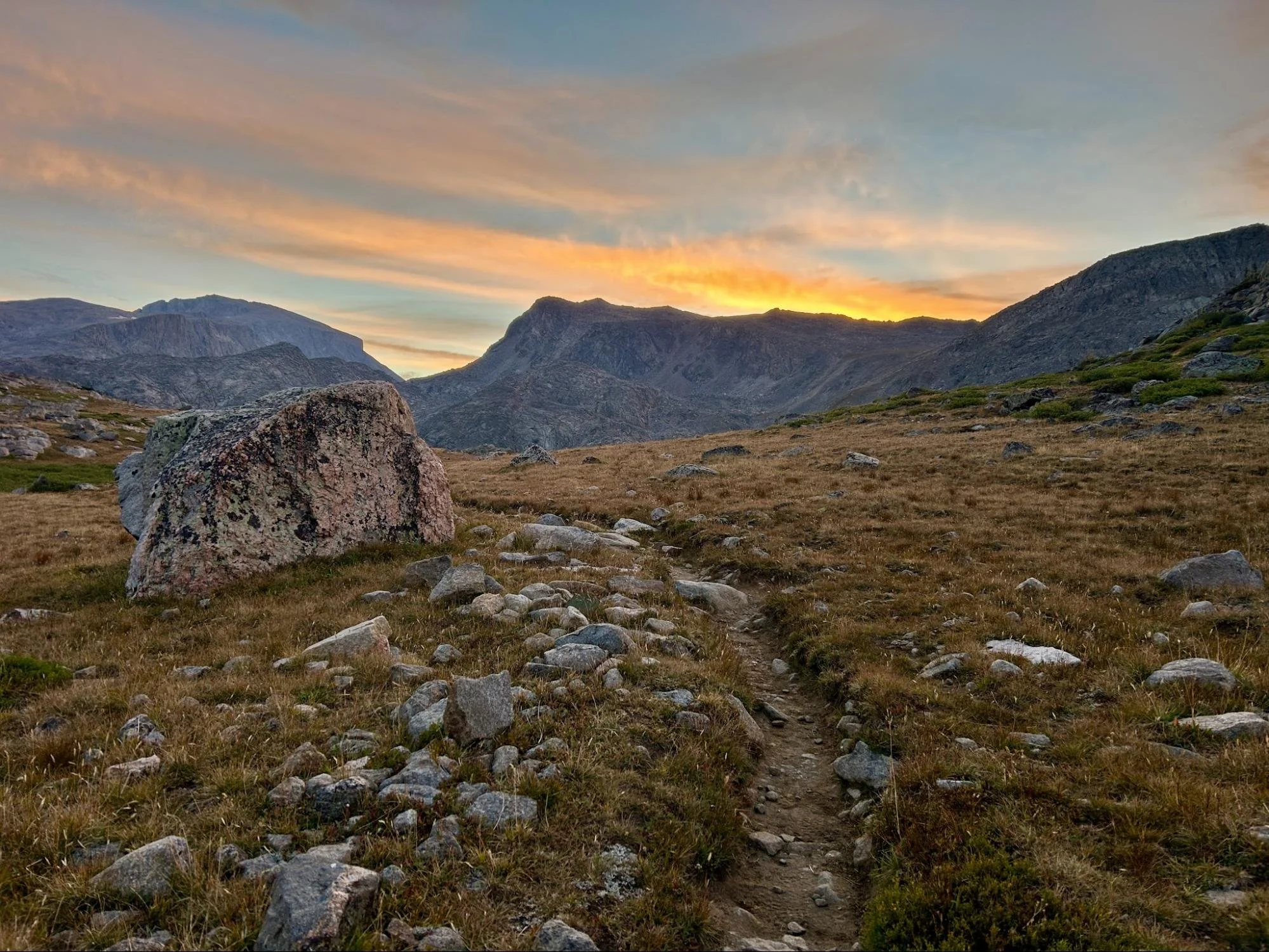
A mountain vista in the Big Horns
Difficulty: 4
Time to Complete: 4-5 days
Distance: 55 miles + connector trail
Seasonality: July-September
Fees/Permit: Self-issued wilderness permit at trailhead kiosk. No fees.
Dog Friendly: Yes
Destination Highlights: High altitude passes and quiet forest singletrack
Summary: The Solitude Loop is a challenging 55+ mile circumnavigation of the Cloud Peak Wilderness. It traverses the high country of the central Bighorn Mountains, never dropping below 8,100 feet. Hikers are challenged to climb through four different mountain passes above treeline, following historic cairns and reaching well over 10,000 feet each time. If you want to experience a real-life version of Bilbo Baggins’ long hike to Mordor in The Hobbit, right here in our northwest Wyoming backyard, this is it.
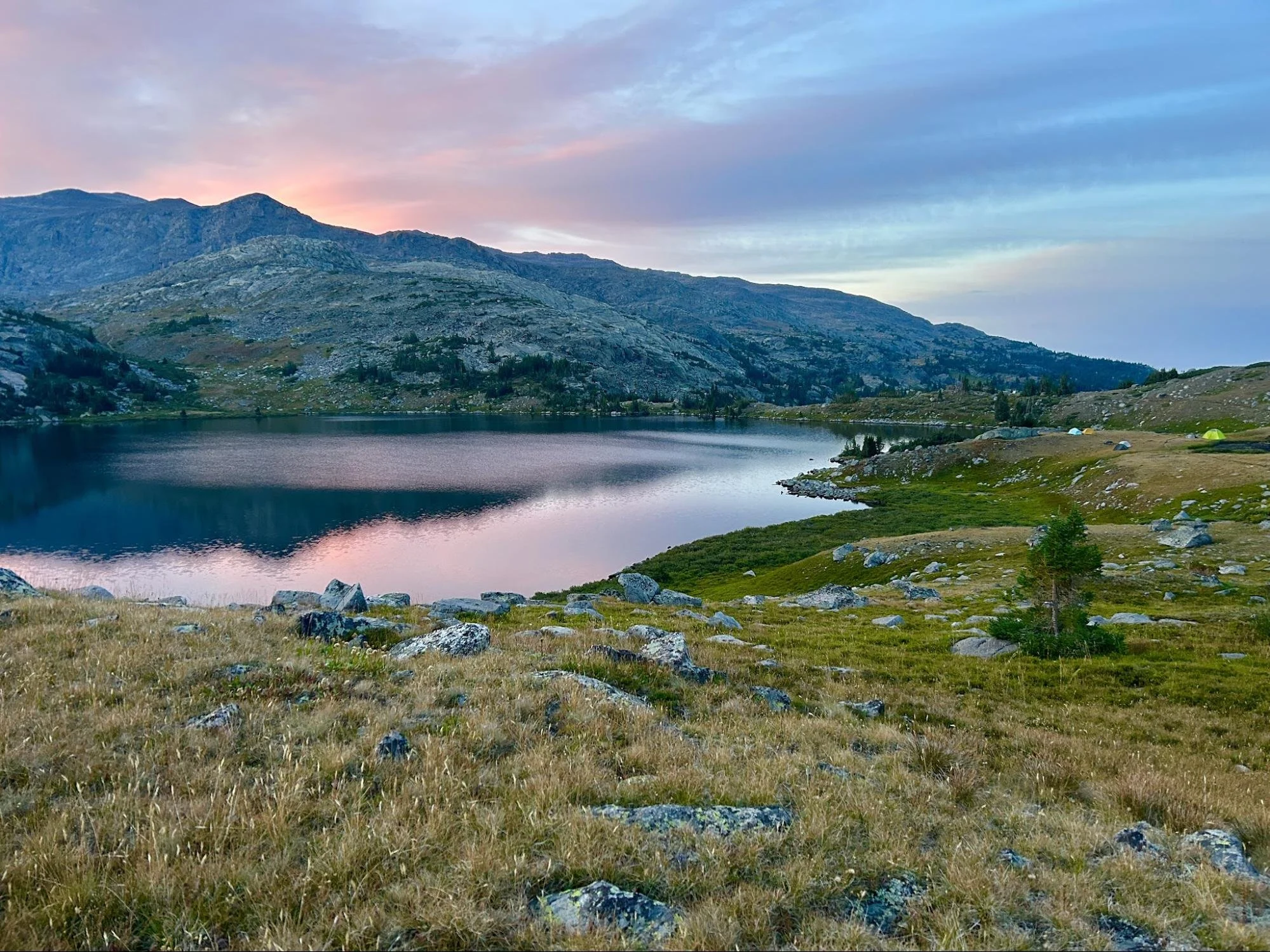
Misty Moon Lake
Intro: Either clockwise or counter-clockwise, the Solitude Loop is a feat of endurance in a gorgeous wilderness area just two hours from Cody. The trail is immaculately maintained by Bighorn National Forest, with very few tree blowdowns across the trail on the entire route. Wooden bridges cross the wildest creeks, and it’s possible to rock hop the rest of the water crossings without getting your feet wet.
Going clockwise from Misty Moon Lake, the loop first passes a large meadow that serves as base camp for hikers summitting Cloud Peak. The flutter of people there is possibly the last of civilization you’ll encounter for at least 20 miles. The trail then continues west and downhill into the Paint Rock Creek drainage, passing Solitude Lake and some interesting rock formations reminiscent of the trolls who turned to stone on Bilbo’s first day on trail. In late summer, watch for edible raspberries growing among the rocks.
Next, follow the trail as it climbs north out of the Paint Rock drainage for Geneva Pass at 10,308 feet. Look for an old mine in the rock wall just over the pass, and then for the old mining cabins in ruins beside the trail.
Descend into the Coffeen Park area on a lovely single track trail that feels more like the lush green of the Pacific Northwest before climbing once again to a 10,341-foot pass just after Cross Creek.
Looking at the map you might wonder if a shortcut is possible across the northeast section of the loop here, but take caution. Map software shows alternate trails that do not exist, and hikers have found themselves bushwhacking or even lost for days by leaving the trail here. The purpose of the big northeast curve is to reach a sturdy bridge for a safe crossing of raging Kearny Creek which roars for miles beside the trail. Next turn south for a long gradual climb up to a 10,600 foot pass above Elk Lake. Rock cairns as tall as a person mark the way, but the route is wide open and easy to follow here, with short alpine tundra grass and sweeping views toward Buffalo, Wyoming.
Drop down into the forest again, this time into the North Clear Creek drainage. This leaves the most epic pass for last. After making the southeast turn of the Solitude Loop, Florence Pass looms ahead. The highest pass on the loop at 10,982 feet, it takes patience and endurance to reach the top as the air becomes thinner and the trail rockier. When the still blue water of Florence Lake comes into view just below the pass, you’re home free.
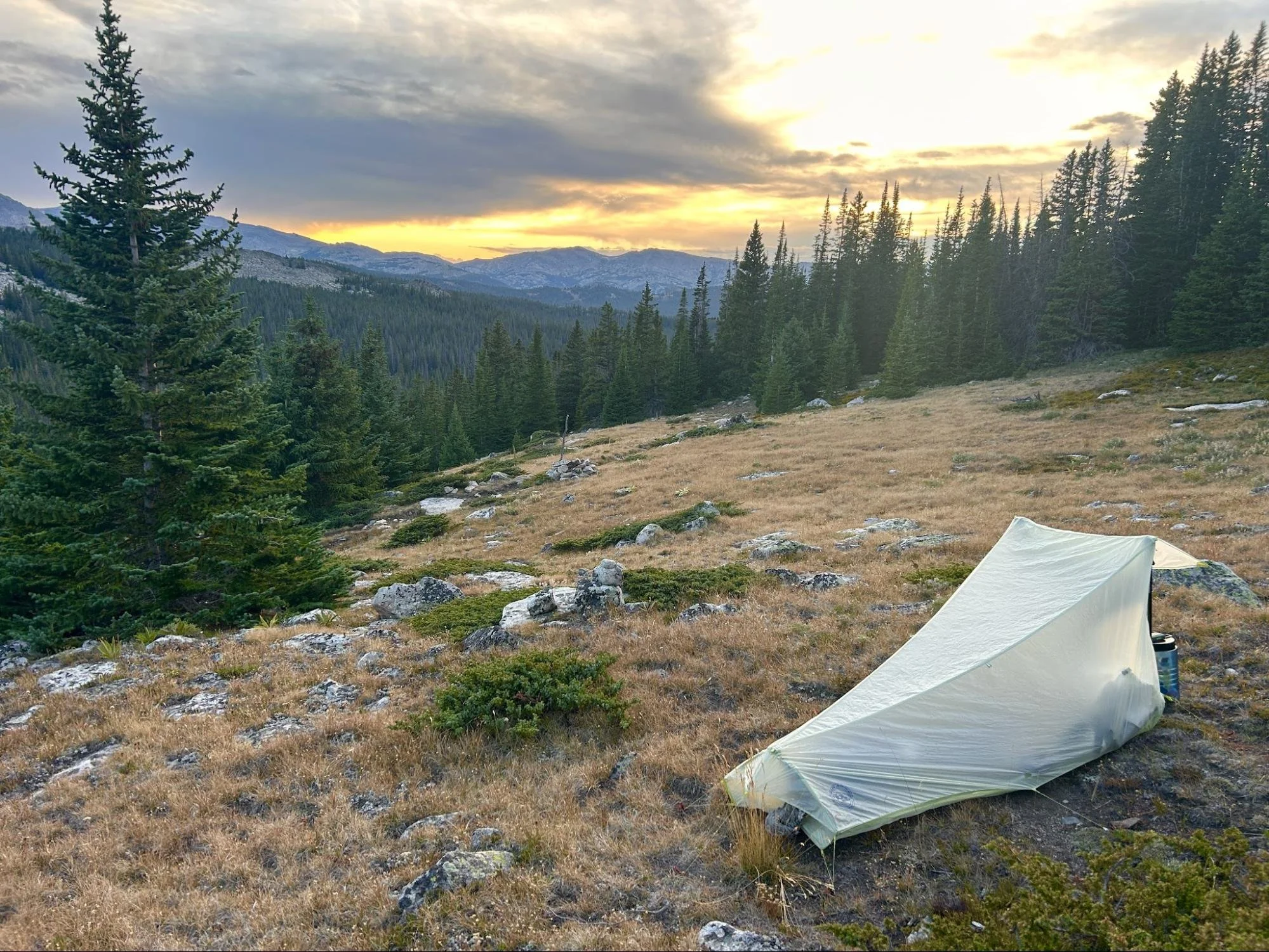
A tent in the Big Horns
Finally, from the top of Florence Pass, it’s downhill all the way back to Misty Moon Lake, with winding singletrack in view below. As the lake comes into sight, along with a few colorful tents and hikers milling around (the first people you’ve seen in days) you may feel a little like Bilbo returning to the Shire after his long journey.
What Makes It Great: The Solitude Loop is freedom. Although it is comparable to the Teton Crest Trail in distance and difficulty, a circuit of the Solitude Loop requires no campsite reservations or fees. Hikers are free to choose a spot to camp at the end of each day, as long as it is 100 feet from water. Speaking of water, it’s plentiful for almost the entire route. If you prefer to travel light, it’s possible to carry just a liter of water at a time and re-fill at the numerous creeks.
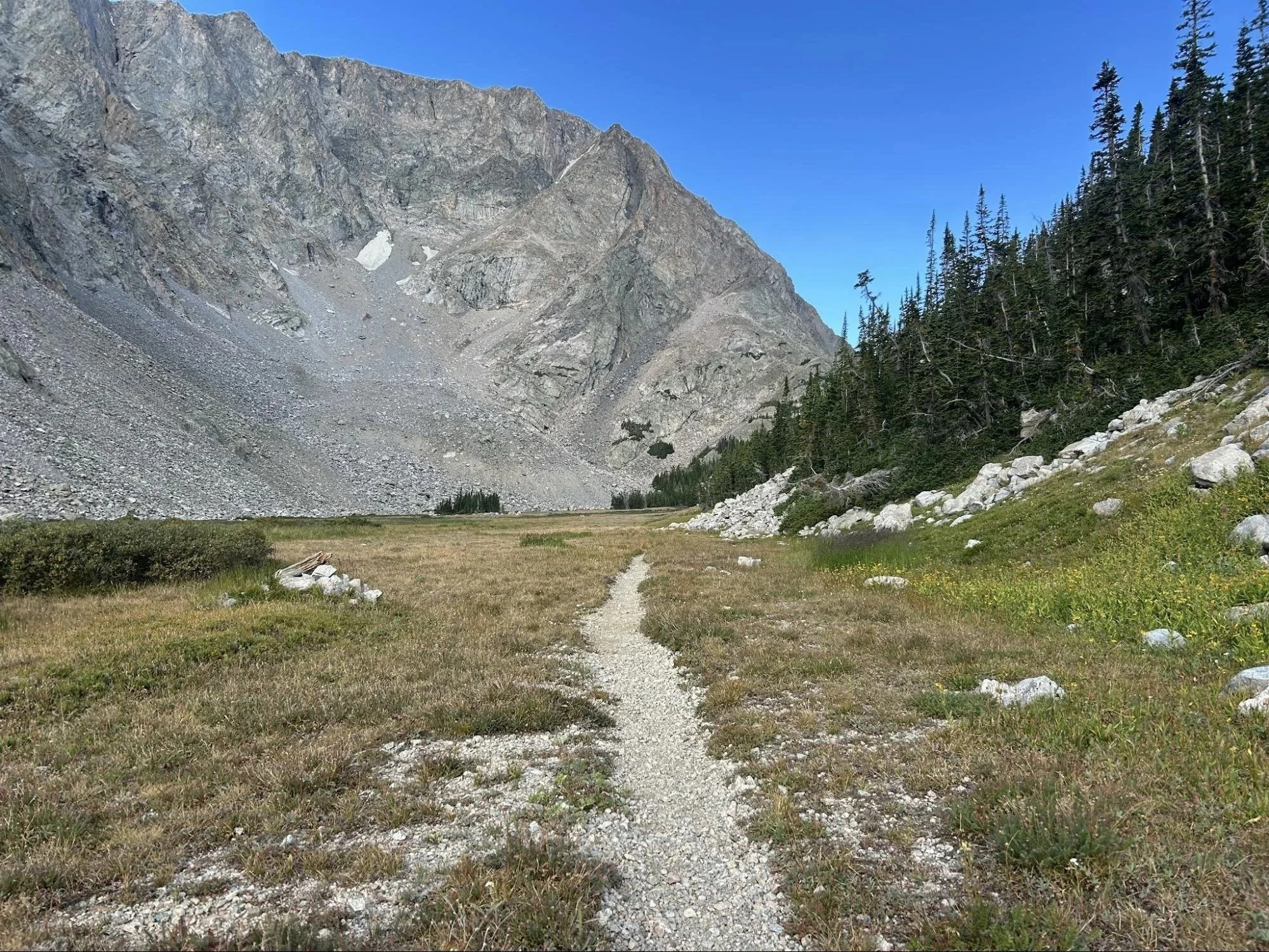
Trail and large ridge
Who is Going to Love It: Anyone needing a digital detox will appreciate the silence and remoteness of this route. It is a true solitude experience. Even in the height of backpacking season, this loop is lightly traveled and hikers may see only a handful of people. The moose are healthy and hearty in the Bighorns, however, so it’s possible to see more moose than people. A normal backpacking circuit of the Solitude Loop takes most people about five days, but it’s possible to fast pack the route in 2-3 days, and ultrarunners with day packs have completed the route in one 24-hour period because much of the trail is runnable.
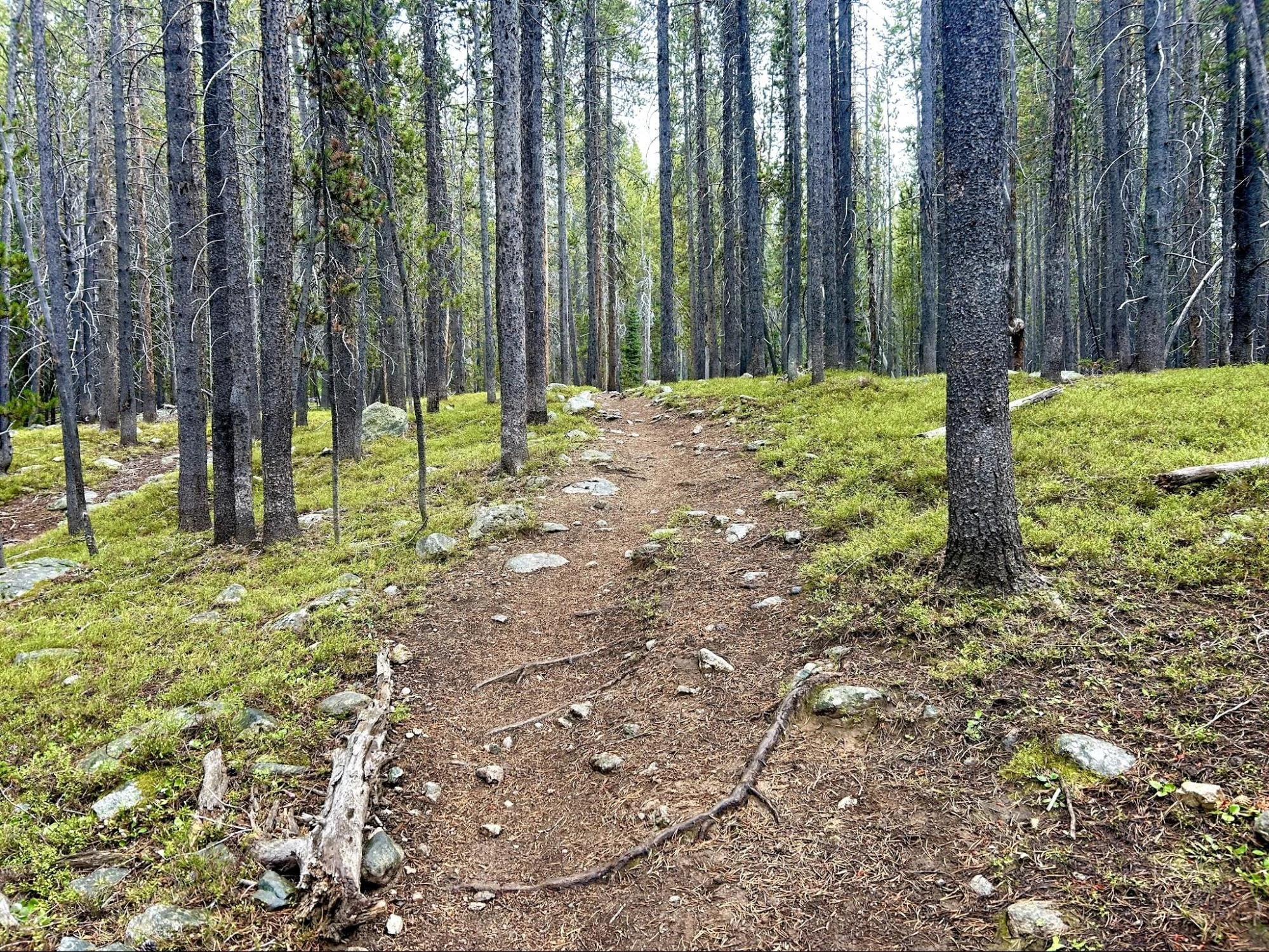
Trail heading into the woods
Directions, Parking & Regulations: Access to the Solitude Loop (Bighorn National Forest Trail #38) requires hiking a spur trail of up to six miles depending on your entrance location of choice. One option from Cody is to take Paintrock Road (Road 17 south of Ranger Creek Campground) to Paintrock Lake Trailhead. This route requires a 4.5 mile hike to reach the Solitude Loop. Access is also available from the Coffeen Park Trailhead, which provides the closest access to the loop at just over a half mile, but requires a high clearance vehicle for the last three miles before the trailhead parking area. For a stress-free drive from Cody but a longish connector trail, park at the West Tensleep Trailhead and hike six miles north to Misty Moon Lake to reach the Solitude Loop. Self-issued wilderness permits are available at the trailhead kiosks. Most of the loop does not have cell phone coverage except 1-2 bars on the high passes.
Wag bags are required in the Cloud Peak Wilderness, so be prepared to pack out human waste and leave no trace to protect the water quality and ground cover of the alpine tundra.