Ishawooa Mesa Trail
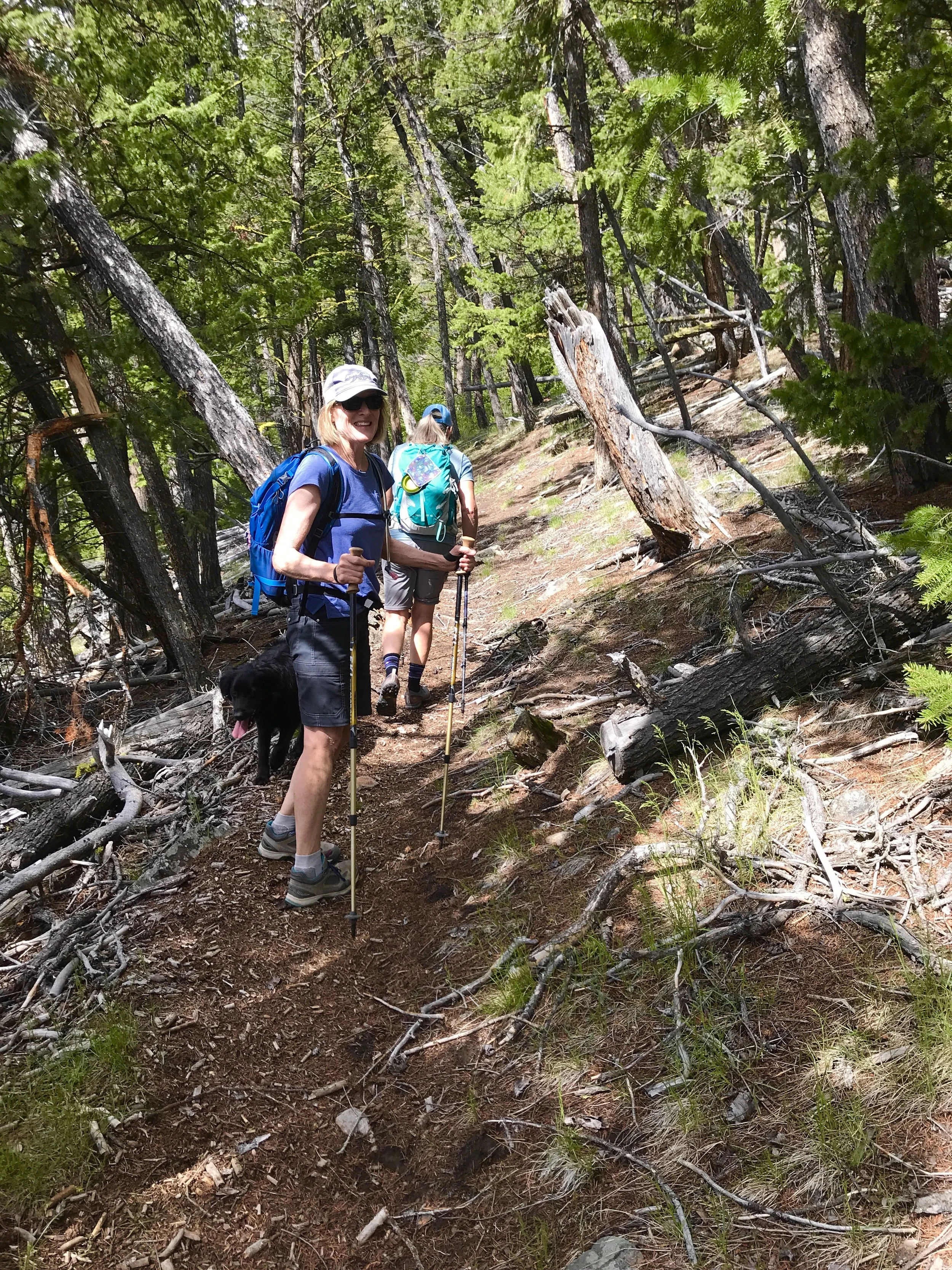
ascending to the ridge.
Ishawooa Mesa is a 10,700-foot mountain near the end of Cody’s Southfork Highway. It is part of the tall ridge between the South Fork of the Shoshone River and Ishawooa Creek. From the top of the mesa on this 9-mile roundtrip hike, both rivers look like tiny silver ribbons in the valleys far below.
Difficulty: 4
Time to Complete: 5 hours
Distance: 9.3 miles
Seasonality: Late Spring, Summer, Fall
Fees/Permit: No
Dog Friendly: On Leash
Destination Highlights: A sunny hike to the top of a notable local landmark.
Intro: From start to finish, the Ishawooa Mesa Trail is well-maintained and has good footing. From the trailhead kiosk, follow the trail north as it grades to the right around the first hillside. This first section is open, sage prairie, but transitions to sparse junipers after the first mile. Beginning at mile 1.5, there are several unmarked trail junctions that can be confusing. Stay on the main trail by following a northward course and aiming for the slope that is straight ahead. Although this route looks like a steep and impossible dream from down below, the switchbacks are gradual and well-placed and it’s possible to make good progress, quickly. After mile 2.4, the trail enters a gorgeous forest of fluttering aspens, lodgepole pines, and Englemann spruce. Just before the final push to the top, there is a short section of crumbling shale that must be crossed with care. The last half mile before the summit is the steepest section of the trail, but it soon emerges at the top of a grassy knoll covered with wildflowers. From here, there are views of the entire Upper South Fork and the backcountry of the Washakie Wilderness. Hikers can continue west along a mountain-top trail for two more miles to reach the true high-point of the mesa at 10,700 feet or can choose to turn back at this first beautiful summit at 9,300 feet.
What Makes It Great: Ishawooa Mesa is a prominent feature of the landscape for the residents of the Upper South Fork. Valley School students watch the mountain as it changes through the seasons. With a relatively warm, south-facing slope, this trail becomes accessible earlier than many local peaks of similar size. Grizzlies live on Ishawooa Mesa and frequently use the trail to navigate their habitat, so watch for their foot tracks on the trail and carry bear spray.
Who is Going to Love It: Hardy hikers who enjoy a challenging climb will enjoy this trail with views of the blue peaks of Wapiti Ridge and the jagged ridge line of Carter Mountain. For climbers and horn hunters, the mountain top is a vantage point to get your bearings among the numerous peaks of the Washakie Wilderness. The trail crosses over a narrow creek at the beginning and near the top of the route, so dogs will enjoy an opportunity for a drink on warm summer days.
Directions, Parking & Regulations: From Cody, take the South Fork Highway (WY-291) for 35 miles and then look for the brown Shoshone National Forest sign for Ishawooa Mesa. The trailhead is on the right side of the road, just before the junction with Hunter Creek Road. If you reach Valley School, you’ve gone about 800 feet too far. Parking is available in a U-shaped turnout, and the trail starts at the kiosk. This hike is entirely in the Shoshone National Forest, so there are no fees or permits needed for hikers. Dogs are welcome but consider a leash to protect the wildlife in the area. There is no cell phone service at the trailhead or along the trail, but there is a faint signal at the top of Ishawooa Mesa.
WANT MORE GREAT HIKES LIKE THIS?
This hike and 94 others are featured in Sunlit Trails, our guidebook to hiking the northwest part of Wyoming. It covers trails from the North Fork to the Beartooths to Yellowstone, with driving directions, difficulty ratings, and the details you actually need before you go. Pick up a copy at Sunlight Sports or order one online.