

Paint Creek Overlook - a short hike to unbelievable views
Paint Creek Lookout

Map courtesy of Natural Atlas
Difficulty: 2
Time to Complete: 1.5 hours
Distance: 2.9 miles out and back
Seasonality: Summer
Fees/Permit: No
Dog Friendly: Yes
Destination Highlights: A short hike to a stunning 360-degree view of northwest Wyoming
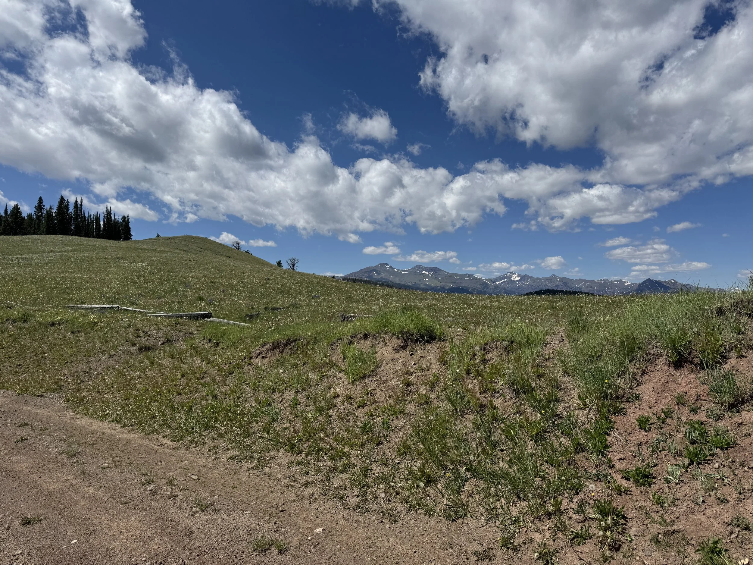
This short out-and-back shares its start with the excellent Pat O’Hara Trail but soon veers off toward a viewpoint that offers a sweeping overview of the eastern edge of the Greater Yellowstone region. From here, hikers can see the full span of Sunlight Basin, much of the Bighorn Basin, and the mountain ranges that define this wild and dramatic landscape.
The route begins on the unsigned but easily followed Pat O’Hara Trail. After driving 3.2 miles off the Chief Joseph Highway on Forest Road 103, park carefully along the roadside near a small, fallen section of fence.
This is the small section of fence that you will walk past.
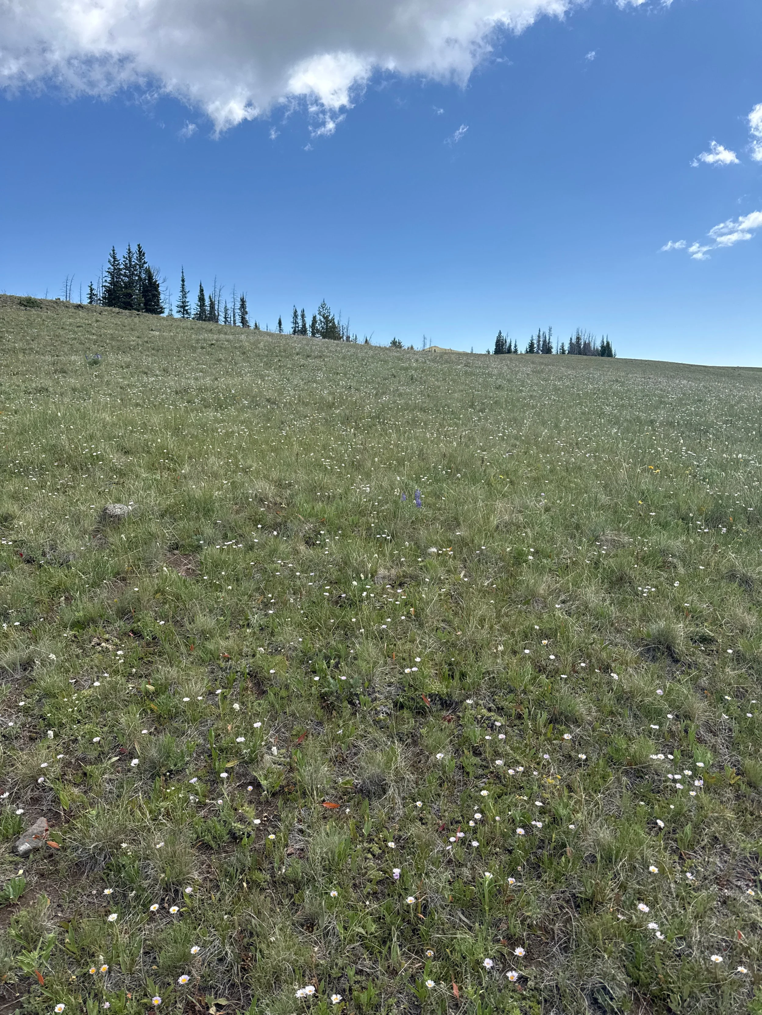
Walk past the fence and turn left onto the obvious trail. This route leads toward Pat O’Hara Peak and eventually Trout Peak - but you’ll only follow it for 0.6 miles. The trail climbs gently through a few stands of trees before opening into a broad meadow. Here, at the .6 mile mark, leave the trail and head left, following the crest of the rounded ridge.
Follow this ridge.
About 100 yards along the ridge, you’ll get your first real view of your destination. You're aiming for the small high point visible in the distance.

The best route takes you left around the small hillock ahead, where a faint trail trends right (south) and leads onto a narrow saddle. Follow it down and then up the grassy ramp to the lookout. Retrace your steps to return.
What makes it great: Unbeatable views for very little effort. From the first step, you’re rewarded with expansive vistas over some of the most remote and rugged terrain in the Lower 48.
Who is going to love it: Anyone who loves mountain views - and really, who doesn’t?
DIRECTIONS, PARKING & REGULATIONS: From Cody, head north on WY-120 for 17 miles, then turn left onto the Chief Joseph Highway (WY-296). After 12.1 miles, turn left onto Forest Road 103. This turn is easy to miss - it’s the first left after the Northwest College Field Station. Follow Road 103 for 3.2 miles and park near the small fence section on the right. Road 103 is rough and can be impassable when wet. While a passenger vehicle can sometimes make it, 4WD is strongly recommended. The Pat O’Hara Trail straddles the wilderness boundary, but no permit is required. Dogs are allowed.